Text and Photos from Hawaii State Division of Aquatic Resources website. Reference Hawaii Administrative Rules Chapter 13-29.
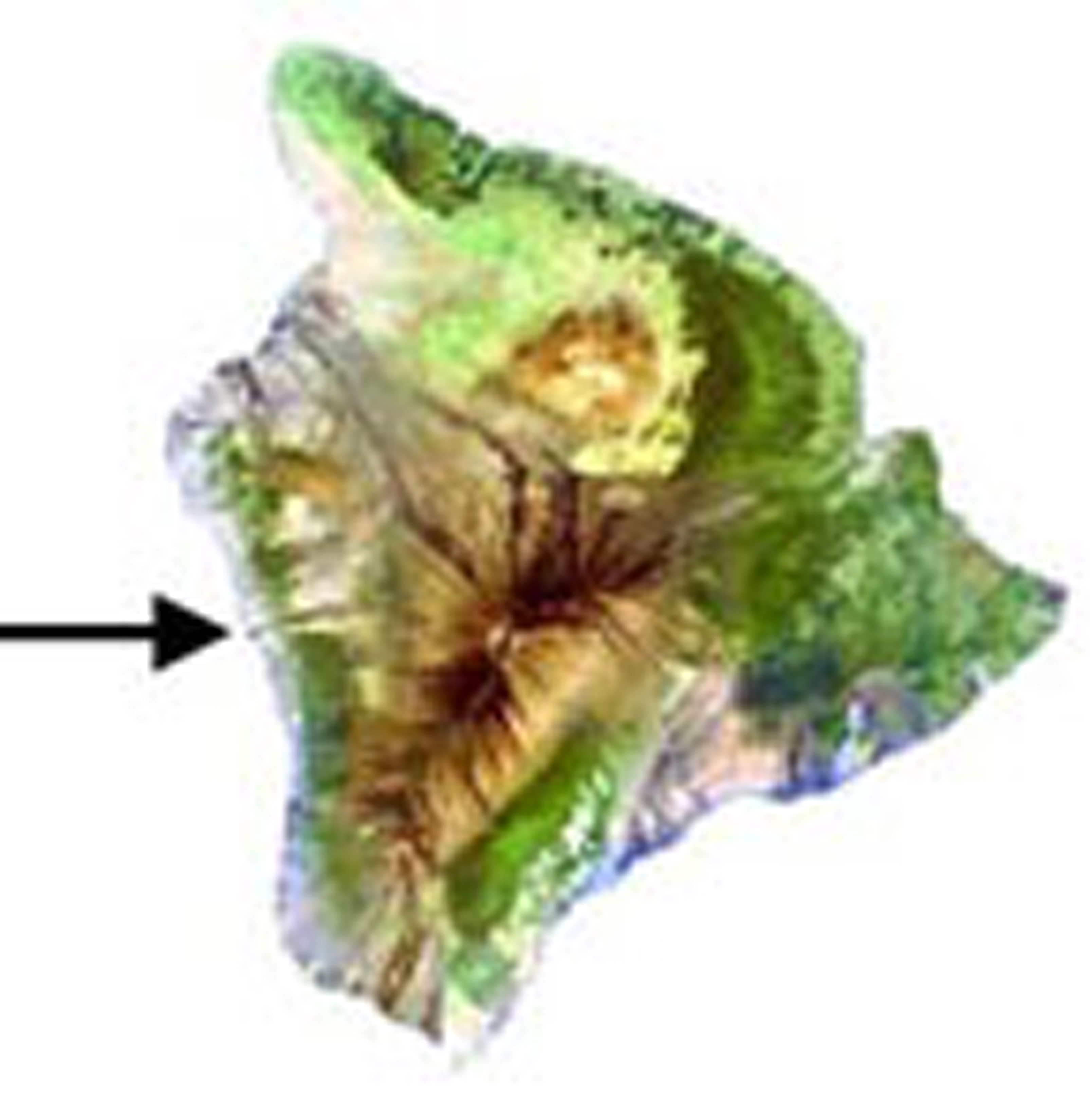 315 acres, Established 1969.
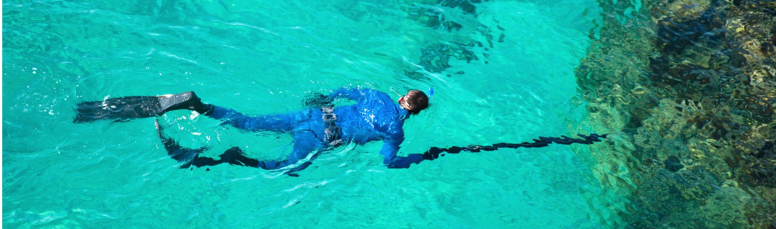
Located on the western coast of Hawai`i near the village of Captain Cook, Kealakekua Bay is about 30 minutes south of Kailua-Kona. The only access by car is to Napo`opo`o Beach, along the bay’s eastern shoreline. Take Hwy 11 south from Kailua-Kona to the Napo`opo`o turn off (about 18 miles), then turn right and proceed 4 miles to the bay. Ka`awaloa Cove, at the bay’s northern boundary, can be accessed only by boat, and a number of dive tours operate in the area.
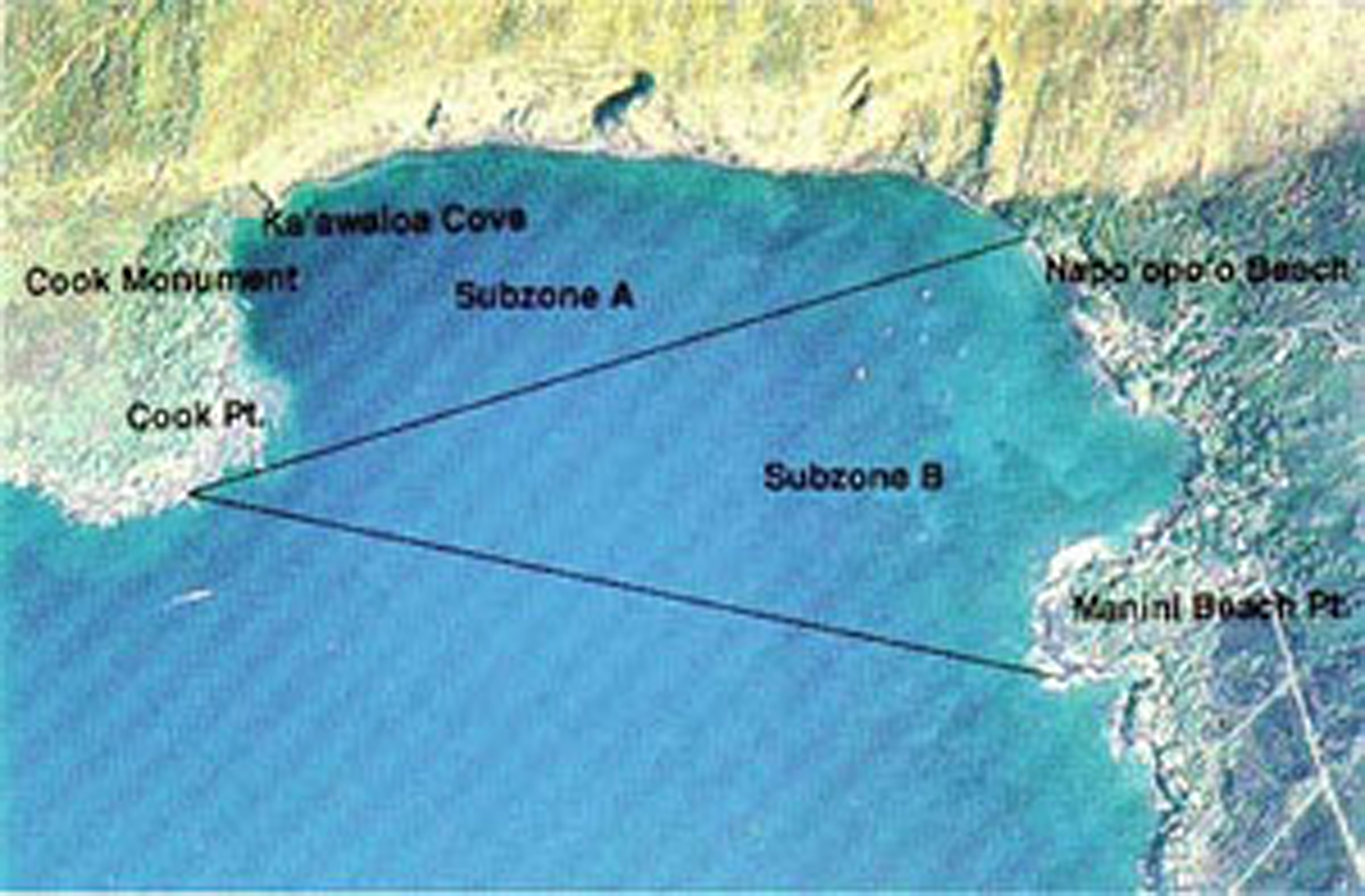 The Kealakekua MLCD extends from the highwater mark seaward to a line from Cook Point to Manini Beach Point. A line from Cook Point to the north end of Napo`opo`o Beach divides the district into Subzone A to the north and Subzone B to the south.
Permitted activities:
- Within Subzone B only, to fish for, take, or possess any finfish with or by the use of hook-and-line and thrownet, provided that any legal fishing device or method except traps may be used for the taking of akule, `opelu, and crustaceans.
- To possess in the water any knife and any shark billy, bang stick, powerhead, or carbon dioxide injector.
- With a permit, to engage in activities otherwise prohibited by law for scientific, propagation, or other purposes.
Prohibited activities:
- To fish for, take, or injure marine life (including eggs), except as indicated in “Permitted activities” above.
- To take or alter any sand, coral, or other geological feature or specimen.
- To engage or attempt to engage in fish feeding.
- Note: anchoring of boats is prohibited in Subzone A. In Subzone B anchors may only be dropped onto sand, or in such a way as to avoid damage to coral.
Photograph © Air Survey Hawaii